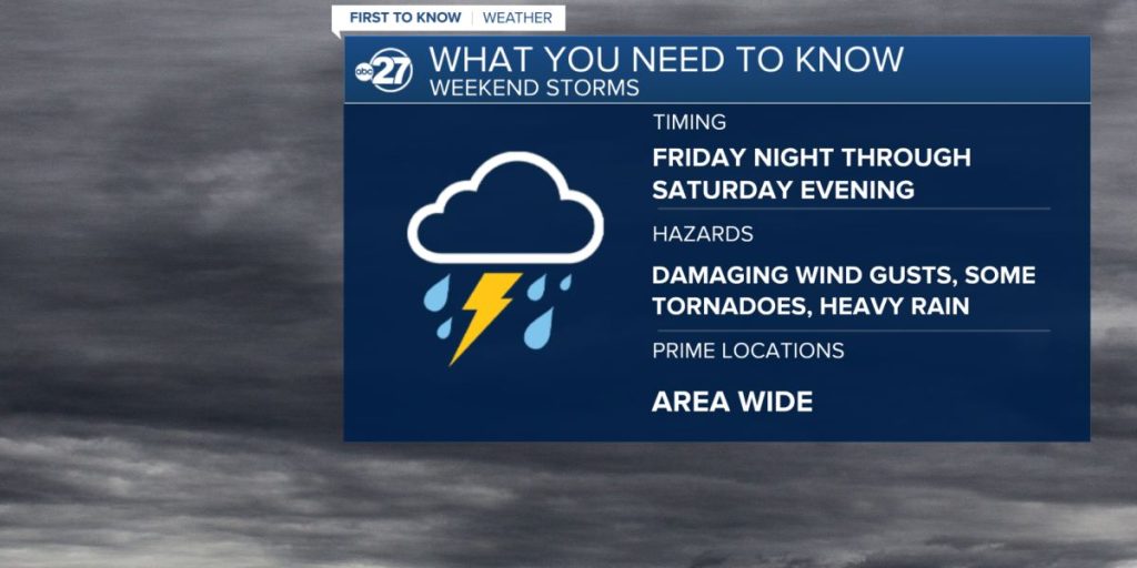
Following a gorgeous week filled with sunshine, low humidity, and cooler-than-average temperatures, we’re following another storm system that will arrive on Friday in the Tampa Bay area.
Beginning Friday morning, a disturbance entering the Gulf of Mexico will generate bands of rain and potentially strong to severe storms. Rainfall totals for Friday and the weekend will be between 2-3 inches, with isolated areas receiving more with heavy rain.
This region of low pressure is expected to move out of the area late Saturday, allowing us to dry. So the weekend will not be a washout, as circumstances improve on Saturday.

The highest risk of severe weather is now expected to be to the south of Tampa during the day on Friday.
The Tampa Bay forecast team will continue to refine this as the storm system develops.
Models are beginning to agree that we could have two main bands of rain. The first wave of unstable weather is expected to arrive about 4 a.m. Friday. The second round of rain becomes heavier in the afternoon, with isolated thunderstorms.
The worst rain will end late Friday night or early Saturday morning.
The primary time for the extreme threat will be during the day on Friday. The major hazard will be damaging winds, with the possibility of hail from storm updrafts.